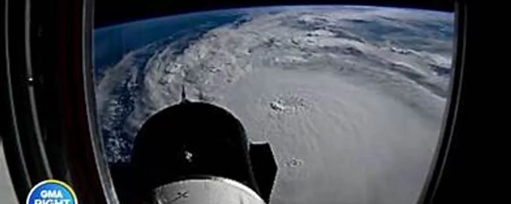
Capturing Hurricane Milton from the ISS
NASA's International Space Station (ISS) plays a crucial role in monitoring and documenting natural disasters like Hurricane Milton. The ISS is equipped with **external cameras** that provide stunning views of storms from space, allowing scientists and the public to observe these phenomena in real time.
How the ISS Captures Images and Videos
1. **High-Resolution Cameras**: The ISS is outfitted with advanced imaging technology that captures high-resolution images and videos of hurricanes. For instance, during Hurricane Milton's intensification, external cameras recorded the storm at 10:28 a.m. EDT on October 7, showcasing its development as it moved across the Gulf of Mexico.
2. **Vantage Point**: Positioned approximately **257 miles above Earth**, the ISS offers a unique perspective that is unattainable from the ground. This altitude allows for a comprehensive view of the storm's structure, including features like the **eye of the hurricane**, which can be clearly seen in the images captured.
3. **Timelapse Capabilities**: Astronauts aboard the ISS can create timelapse videos that illustrate the rapid changes in the storm's intensity and movement. For example, a timelapse of Hurricane Milton was shared, showing the storm's evolution as it approached Florida.
4. **Real-Time Monitoring**: The ISS continuously orbits the Earth, providing frequent opportunities to capture images and videos of hurricanes as they develop. This capability is vital for tracking the storm's path and intensity, which is crucial for disaster preparedness and response.
Importance of ISS Imagery
The imagery and videos captured by the ISS not only serve scientific purposes but also help raise public awareness about the impacts of hurricanes. By showcasing the beauty and power of these storms from space, NASA provides valuable insights into their behavior and the importance of monitoring climate-related events.
